Create and update area maps for geological research or development projects in the suite supporting 2D electrical imaging surveys. It generates pseudo sections based on the analyzed input data and compiles land, underwater and cross-borehole survey files.
Supports on land, underwater and cross-borehole surveys
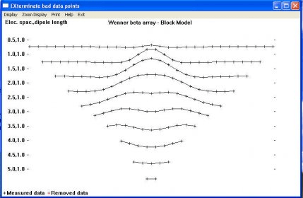
Supports the Wenner (alpha,beta,gamma), Wenner-Schlumberger, pole-pole, pole-dipole, inline dipole-dipole, equatorial dipole-dipole, gradient and non-conventional arrays.
Supports exact and approximate least-squares optimisation methods
Supports smooth and sharp constrasts inversions
Supports up to 16000 electrodes and 21000 data points on computers with 1GB RAM
Seamless inversion of very long survey lines using sparse inversion techniques

Comments (1)